

How Drones Are Improving the Efficiency of Civil and Agricultural Engineering Projects
It is the same in both – a civil planner and a farmer need to know their land. Both are limited in this way by many factors – scale, cost, and most importantly, time. A typical land survey requires a ground crew and specialized instruments, often constrained by terrain, accessibility, and schedule. Drones provide a faster, safer, and more cost-effective solution, capturing aerial imagery that can be processed into workable models with centimeter-level precision. The end result is a surface model created from the millions of data points gathered in a matter of minutes. In most instances, this model is available that same day to assess valuable data like areas and material volumes. This greatly assists in everything from design and cost-estimating to project management and tracking.
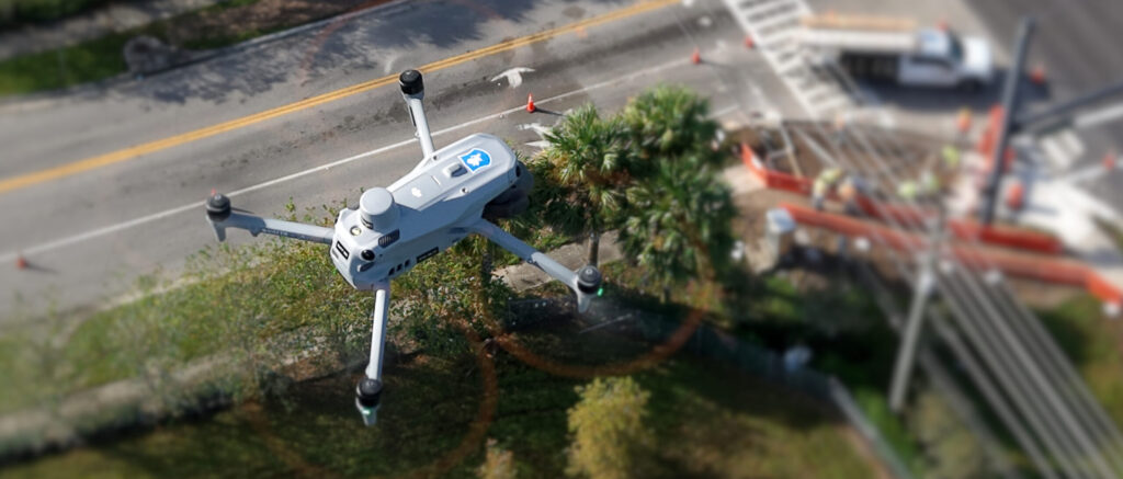
Not Just a Toy
Drone technology has rapidly evolved from niche hobbyist tools to powerful instruments with wide-ranging professional applications. Among the most transformative uses is drone imaging, where aerial data collected by unmanned aerial vehicles (UAVs) is applied in civil and agricultural engineering. High-resolution cameras, multispectral sensors, LiDAR systems, and real-time analytics have enabled engineers, planners, and farmers to gather precise insights that were previously time-consuming, costly, or impossible to obtain.
By providing real-time site updates, drones enable engineers and contractors to track progress, compare actual developments against project timelines, and maintain accurate documentation.
A Green Thumb
Multispectral and hyperspectral drone sensors capture data invisible to the human eye, such as near-infrared wavelengths that reflect plant health. From this, farmers and agricultural engineers generate Normalized Difference Vegetation Index (NDVI) maps to detect crop stress early, which helps them optimize irrigation, fertilization, and pest control. With aerial imaging, farmers can monitor growth stages, identify areas of pest infestation, and estimate yields. These insights help in planning harvest schedules and logistics more accurately.
Even before planting, drones can map soil variations, moisture levels, and drainage patterns. This data guides engineers in designing efficient irrigation systems and helps farmers make informed decisions on crop rotation and field management.
Drones also support pasture health analysis, water resource monitoring, and livestock tracking. This reduces labor demands while ensuring sustainable practices in large-scale agricultural systems.
Where Are These Drones Going?
As artificial intelligence, machine learning, and cloud computing integrate with drone technology, the scope of applications in civil and agricultural engineering will continue to expand. Real-time analytics, autonomous flight planning, and integration with Building Information Modeling (BIM) or farm management software promises even greater efficiency and precision.
Drone imaging is revolutionizing both civil and agricultural engineering by transforming how professionals gather, analyze, and apply data. From construction site monitoring and disaster assessment to precision farming and crop management, UAVs are creating safer, smarter, and more sustainable engineering practices. While challenges remain, ongoing technological and regulatory advancements are ensuring that drones will remain at the forefront of engineering innovation.